Join BlackShore, 52Impact and HCSS on Wednesday, March 15, from 14:00-15:30 for an online seminar on advanced data technologies to support policy and programming on climate change.
What:
This webinar provides insights into how advanced data technologies (e.g., satellite imagery, machine learning) can support the development of climate change policies.
Specifically, the online panel will deep dive into the unique approach developed by the Crowds & Machines consortium that combines game-driven crowd source analytics, machine learning, and strategic analysis. We will provide an overview of the approach and invite participants to get an exclusive look at this innovative and ambitious project.
Why:
Understanding the impact of climate change is crucial for the development of effective climate change mitigation policies. Advanced data technologies can play an important role in understanding the impact of climate change.
Mapping observations often lack precision, depth and meaning. We will demonstrate how remote crowd-based observations can enhance and complement on the ground surveys and provide insights for policy and decision makers.
Speakers (tentative):
- Hans van ‘t Woud (BlackShore)
- Koen Verberne (52Impact)
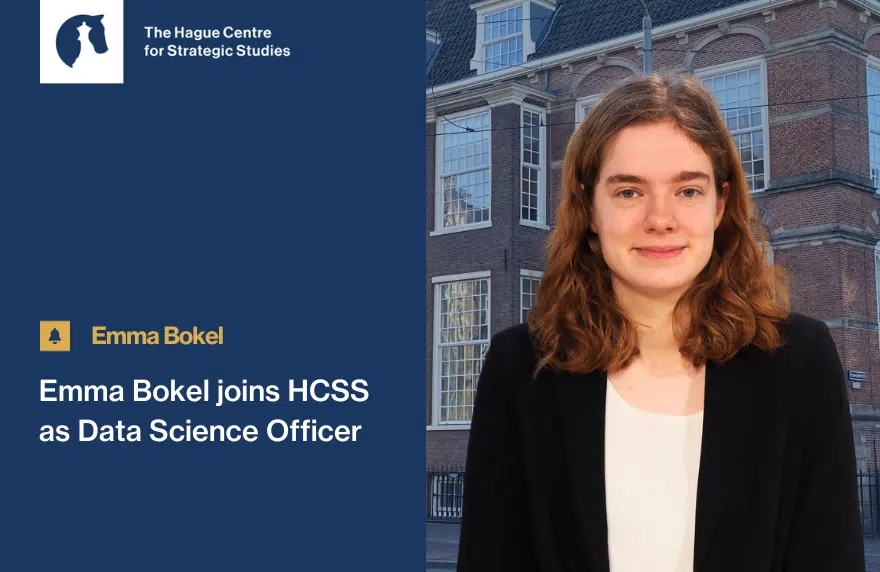
- Laura Birkman (HCSS)
Sign up now through Eventbrite!

About Crowds & Machines:
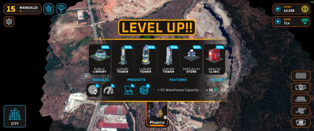
We live in an age where artificial intelligence is increasingly being deployed to interpret satellite imaging. But the methods deployed are still in their infancy and – very costly. What if we could develop a system that acts as a catalyst to enhance these methods that at the same time helps to tackle some of our great societal challenges?
Enter Crowds and Machines, a new project that uses satellite information in a unique way to support the development of more effective interventions to mitigate the negative impacts of events that can be observed and monitored from space.


Our starting point: Cerberus. Cerberus is an advanced gaming platform that uses crowdsourcing to interpret satellite imaging. It currently utilises the eyes of over 75,000 people to build advanced mapping products. The output: detailed maps that are better than Google.
How? Using trained players, the generated data is used to train AI and machine learning systems that can detect pre-identified objects and scale the original maps to much larger surface areas.

This project is a joint operation of BlackShore, 52 Impact B.V. and HCSS, and is supported by the European Space Agency (The ESA Φ-lab). All generated labels are intended to be delivered as open data, and will be shared through ESA’s AI4EO Initiative.


